Had a terrific day w friends in Flottsbro, Stockholm.
Fallin Flottsbro from Stefan Jansson on Vimeo.
Had a terrific day w friends in Flottsbro, Stockholm.
Fallin Flottsbro from Stefan Jansson on Vimeo.
Today’s adventure were on a smaller scale than the last, when we are moored at the heavy Lift quay we do not see to far. So today we settled for the antennas that we could see at the closest peak. As usual the backpack was filled with tools, drink and food.
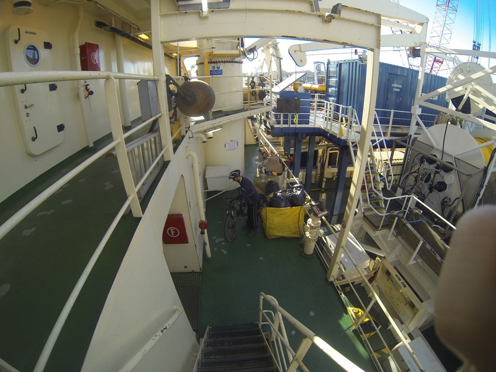
We set of via ASDA that would lead us to the road I had found on the map, just cross town and as the road started going uphill we came to a cycle/footpath that were separated from the road and very idyllic.
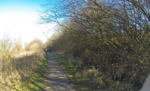
After a few hundred meters the path ended and we were at some industrial compound, took to the left and the single trails began, we started with one that looked as it went straight up the mountain, and it was really hard work, lowest gear standing pedalling….
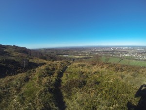 Eventually we cleared the steep parts so we could start using the bikes in a proper way.
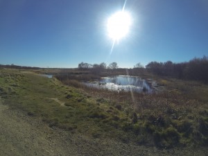 The trail up to the antenna site was very wide and offered no resistance.
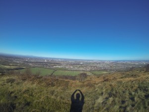 Up on the top we saw a few horses and a fellow mountain biker. On the top next to an old chimney there was memory gifts for diseased friends/relatives. As it was quite windy we continued past the top and entered a field with sheep. Were the field met the woods we found lee and had a really nice break in the sun, overlooking the Roseberry Topping from our last adventure.
After we moved on we found a way down from the mountain which of course was to fast, the hard earned height meters just ticked away and we had to follow a path along the base of the mountain.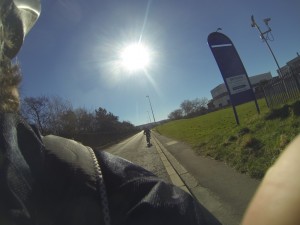
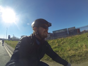 After a while we reached a bridge over the higway and found our way across town without incidents. All in all a very nice although windy ride.
On the 9th of March it was time. The backpack with long-ride gear was completed, the bikes had received a service the night before and the weather was okay. Finally the Roseberry Topping expedition could be launched. I asked Bjørn the 13th hour but he was on and changed clothes and arranged his sandwich-pack in no time.
With the Wave moored at Dawson’s wharf, there was a distinctive little mountain at the horizon that drew my attention. After some googling I found that it is the Roseberry Topping, a 320 meter mountain that was the playground for a young James Cook.
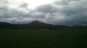 At a distance away of only 22,5 kilometers it seemed plausible to cross town, ride some trails and get there. I printed and laminated a few sheets of not all to detailed google maps. I had been collecting a backpack, pump, repair kit and a multitool.
We left the vessel in the morning and headed towards the stadium, our first landmark, as it was Sunday the feared English traffic was very light. After the stadium we found a terrific way through the hole town, or it would have been if I had not deviated into the suburbs in my search for trails, but we returned to the road and got our first climb over a mountain. 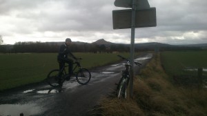 Once passed the “summit” and through a roundabout, we left the main road to follow along the railway. According to my calculations, there should be some kind of trail following the rail and then leading straight over the fields to Roseberry.
And sure it was, a footpath that was not open for bicycles, but as Vikings who had crossed the North Sea to explore England, we didn’t care. There were plenty gates to open and in the middle of nowhere a school class on a trek suddenly appeared and then another!? The fields were very wet and muddy so our speed was nearly none.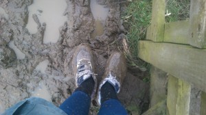
Stefan’s white shoes after contact with the dry British soil.
After crossing through plenty of muddy fields, climbing hedges and fences we had reached a final pasture that we needed to cross to reach a road, yes a road! We had just left a small forest and in there, something had pierced my front tire. OK.. Turn bike upside down, of with tire and out with the tube. 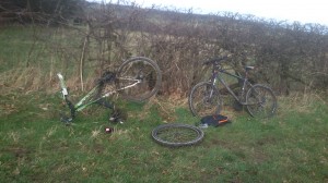 Hmm, the hole seemed to be very small, no chance to find it without water, and no puddles in sight and we who had been more or less submerged in water so far. Well we found a footprint from a sheep that was full of water, and that was enough.
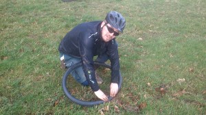 The flat was repaired and our journey could continue…not. Both wheels were pierced; on it again, repair the other flat and at the same time enjoying the chilling wind which there was no shelter for. As the bike was fixed and we had reached the road it only took about five minutes of nice road cycling until Bjørn had a flat, he dismounted and ran the last few hundred meters to a parking place that was luxury prepared with a large pool of water. We were now starting to get something in the way of routine in our flat repairs.
From the parking there was just a short way through a village to the obvious and correct path up the mountain. At first it was rideable but as it got steeper the mud made it slippery so we had to “pushbike” our way to the top. For the final climb to the top we left the bikes and walked. It felt really good to conquer Roseberry Topping after this eventful ride. We sat down in the wind and sun to have our picnic, wich tasted great. The view was OK, we could see Middlesbrough, the Ocean, the James Cook monument and the North Yorkshire Moors.
Down with the bikes again we decided to split for a short while, from the top we spotted a line up on the moors and then a nice descent down to our intended trail. The climb up on the moors changed to “pushbike” as I came closer. After a short ride up on the moor I came to the descent we had spotted, were I had a short chat with a local rider. I looked down the trail that would lead me down to Bjørn. It was so steep I would not consider to walk down, hmm, had to continue. After fifty meters or so a lot of tire marks led to the edge and I followed them. As I looked down, a local downhill course appeared. I might possibly have tried to ride it on my own bike but not on this shitbike, sorry I mean shipbike. So me and the bike crawled the steeper sections and after a while it flattened out so I could ride, All this had taken a while so now I needed to hurry not to loose Bjørn. But of course I lost him, just as I reached the main trail, he called and said he was almost on the main road. That made me pin it, full ahead, left or right? Hmm..he must have gone straight ahead, I was really going fast for quite some time, but no sign of Bjørn. The trail ends and I cross a village and end up on a decent road, maybe the main one. After twenty minutes and a lot of phone calls, we believed that we had lost each other and are just about to go home on our own, when we met in a crossing…. The way home is not that much to write about, but if you ask us we will gladly tell you about it with an embarrassed smile. 